
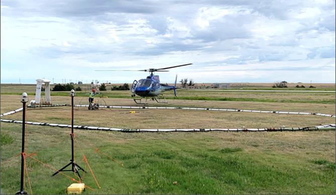
Airborne electromagnetic surveying will take place in west-central Kansas in mid-June into early July as part of a multi-agency effort to assess conditions in the Ogallala aquifer. The Kansas Geological Survey, based at the University of Kansas, is part of the project. Photo credit: Jim Butler, Kansas Geological Survey.
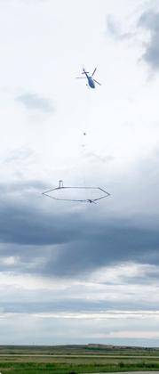
Airborne electromagnetic surveying near Goodland in summer of 2024. Photo credit: Jim Butler, Kansas Geological Survey.
LAWRENCE—Beginning in mid-June and continuing until early July, residents of west-central Kansas may see a low-flying helicopter towing a large hexagonal frame. This unusual arrangement is part of a project to map groundwater conditions in the Ogallala aquifer in Western Kansas Groundwater Management District No. 1.
Thanks to funding from the Governor’s Office and the Kansas Water Office, GMD1 and …